Hexatlas - Region Map Generator
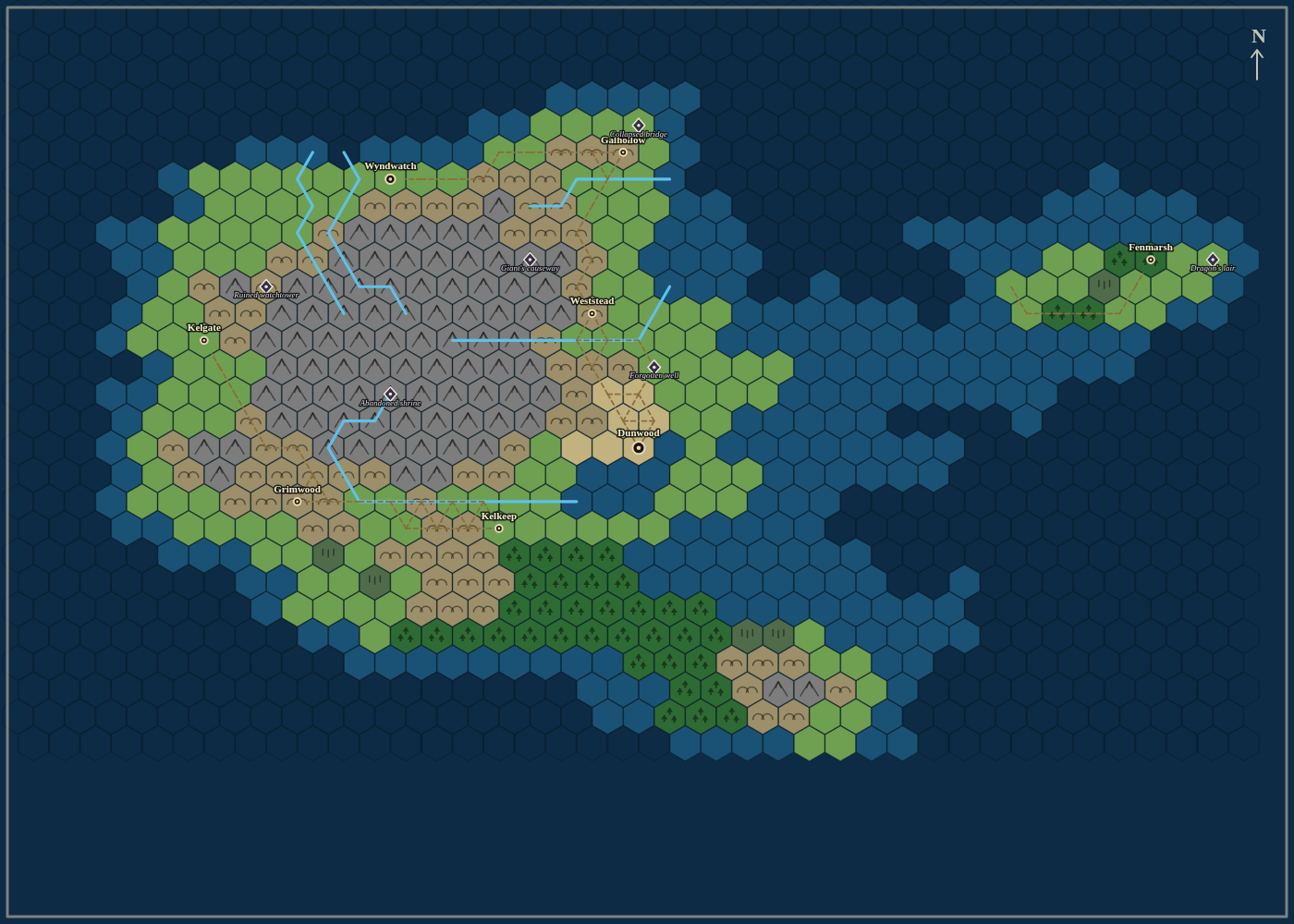
Hexatlas generates complete hex-crawl region maps for your tabletop campaign, all in the browser. Pick a layout - island continent, western coastline, or fully inland - dial in settlements, rivers and points of interest, and hit generate. Every map is seeded, so a saved seed always rebuilds the exact same world. Each map comes with procedural terrain (mountains, forests, swamps, dry plains), rivers that flow from highlands to the sea, roads linking named settlements, and points of interest from ruined watchtowers to dragon lairs. Export a print-ready PNG for your table or VTT, plus a GM notes file listing every settlement and point of interest with its hex coordinates, ready to drop into your campaign prep. Built for GMs who want a believable region map in seconds instead of an afternoon.
Purchase
In order to download this tool you must purchase it at or above the minimum price of $4 USD. You will get access to the following files:
Development log
Leave a comment
Log in with itch.io to leave a comment.